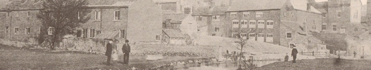
Possibly the finest, surviving photograph of the Dog Kennels, shot from the Cattle Market, looking up towards the Market Hall. Taken sometime between 1900 when the Cattle Market was built and 1912 when the Dog Kennels were demolished and Markham Road constructed.
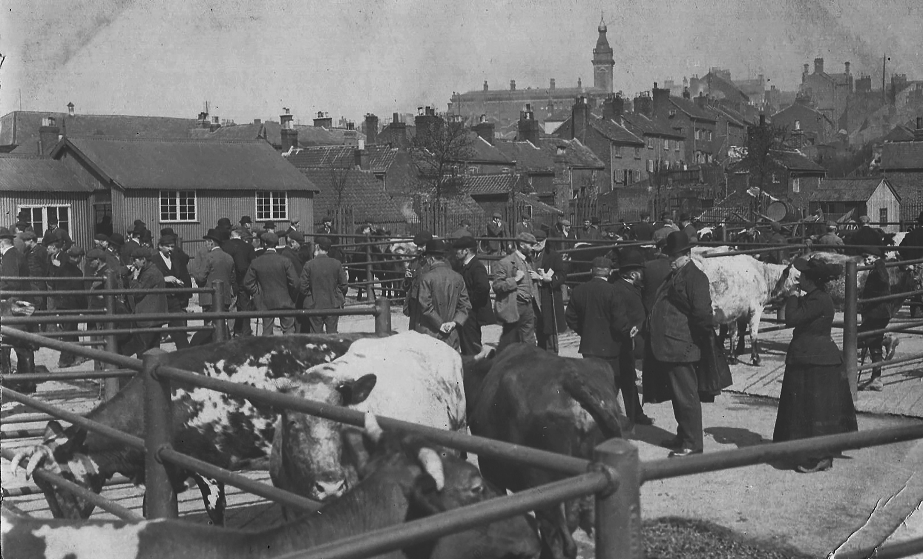
Although the cattle market does not easily fit into the main map for this site, this is an incredible photo and clearly shows its position in relation to the Hipper (immediate foreground) and its position via the Market Hall and the Crooked Spire.
The bottom end of the area between the cattle market and the Market Hall is the Dog Kennels.
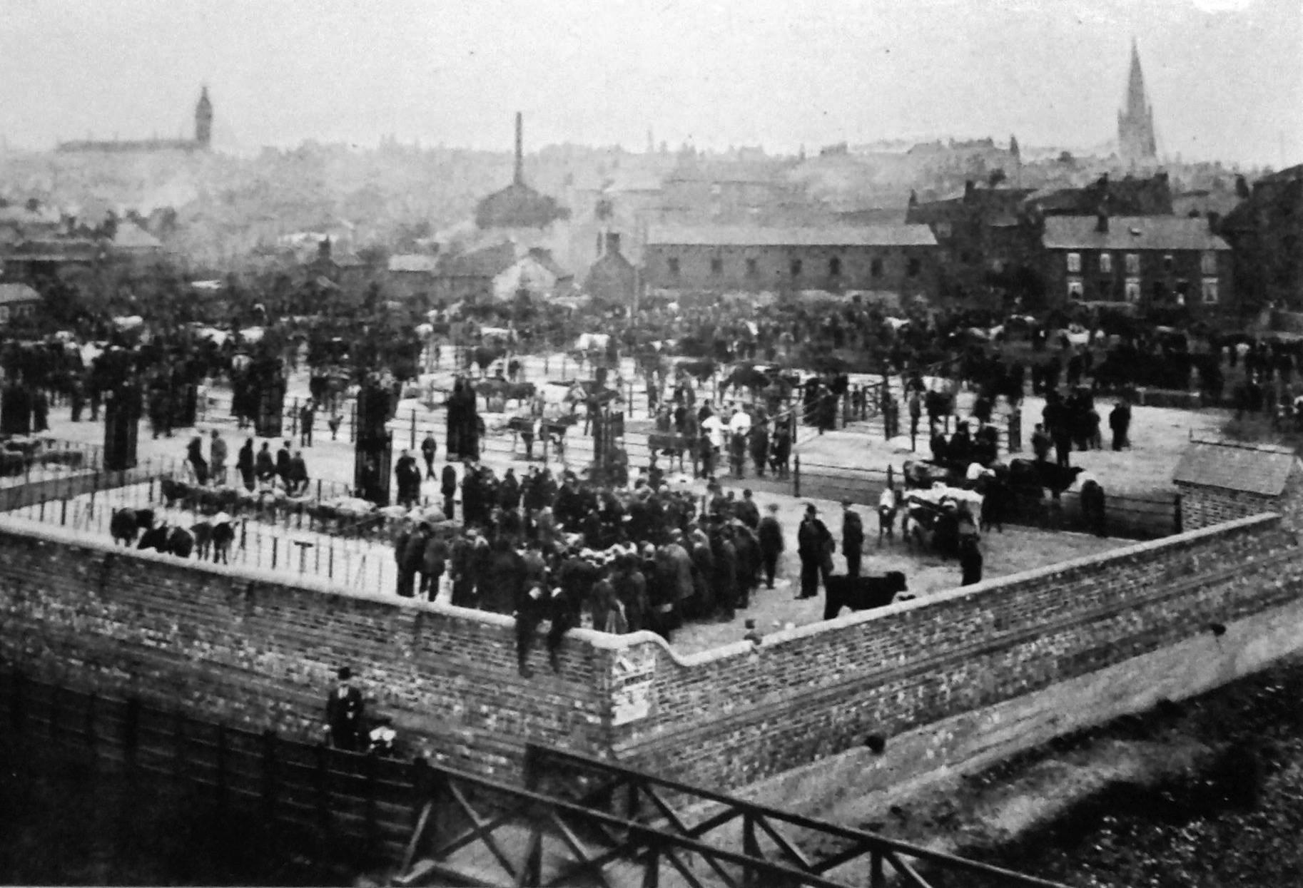
After 85 years, the remains of the Cattle Market itself was demolished in 1997 to enable the building of the Ravenside Retail Park.
You must log in to post a comment.